Assalamualaikum everyone,
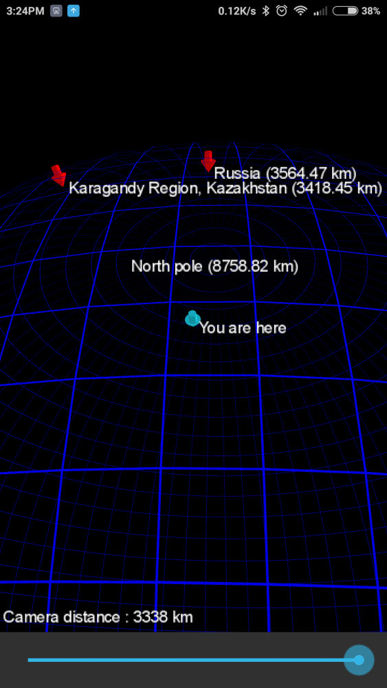
People in US usually said that “China is halfway around the world”, which means that, (given that the earth is round) if you want to point where where is China, you would point it straight underground. I wonder, what about other part of the world? Do North pole also go down? How far down? So I made an app for it called “Thru Earth Position”.

Why “Thru Earth Position”? The answer is mainly because I can’t figure out a better name. It was originally an augmented reality experiment on how to map location on earth to the screen. Or in another word, I want to move around the screen and the screen will show what location is in front of me. It work, and I thought it was cool, so I made another one, with a 3D globe-like interface. For some reason, the addition of 3D globe visual kinda reduce the feel of AR-ness.

That, or mainly because I’m generally a bad designer. The app also shows the distance from your current position. It is relatively simple, with some settings do show or hide elements. It does not use the internet aside from google maps and geocoding to fetch the location name.
The app is actually my first ‘kinda-proper’ mobile application. It is made using libgdx(an OpenGL game framework) and Kotlin(a Java compatible programming language). So, it is kinda an experiment on “making an android app using Kotlin and libgdx with some OpenGL stuff”. It is available on google play store. Which means, it is also another experiment on “what happen when you make a relatively simple app and publish it”. You can find it here. Try it out, and let me know what you think about it.